|
Deb & Walt bicycle Nova Scotia! Starting in Portland Maine, and then continuing through Newfoundland and back! Page 4: Cape Breton ! |
|
 |
When
we got to Cape Breton it was now looking certain that we would get the
opportunity to take a ferry to Newfoundland. We had to cross the
island to North Sydney. There were two main routes to get there,
but both were an awkward distance, about 110 miles. That's a
really hard one day ride, or two rides that wouldn't be long
enough. Also both looked like big, busy roads.
So we came up with a third option. We traveled overland on a series of small local roads, some of which we knew would not be paved. Local opinion in Port Hawksberry differed on how much was unpaved... |
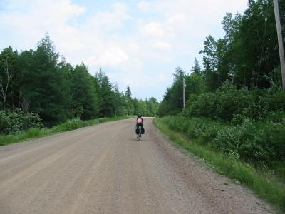
| Above
is Deb in the town of West Bay Road. That is the actual name of
the town. The road goes to the town of West Bay, which is on the
West Bay of the Bra's de Ors. The Bra's de Ors is a huge inlet of
the ocean in the middle of the island, which is thought of as a
lake. It does have two outlets to the sea, one natural, and one a
canal, so I must imagine it is at least brackish water. I never tasted it to find out.
This land is sometimes confusing. We did hit a stretch of gravel, but it wasn't too bad.
|
|
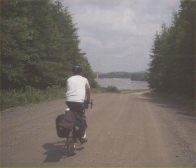 |
But
we really weren't absolutely sure quite where we were. As you can
see above, a lot of the ride here was in the trees and there were no
visible land marks. But in the picture to the left, ahead of me
you can see a body of water. As we got closer, we could see that
it was so large, it could be none other than the Bra's de
Ors.
We didn't know how much farther we would be on the dirt, but at least we knew if we stayed on the lake and kept the water to our right, eventually we would get to Iona, where we planned to spend the night. |
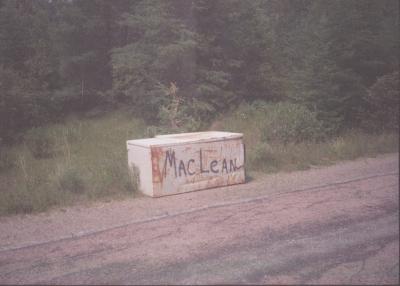
| All
through Nova Scotia we had been seeing freezers along side the
road. Finally we figured it out. The were varmint-proof
place to keep your trash...
With the family name inscribed on them, of course!
|
 |
 |
The
unpaved section was mercifully short, only about fifteen miles. As
we neared Iona, the road surface was very nice and the scenery was
excellent. It became quite hilly, which is challenging, especially
at the end of the day. Off to the right you can see the Bra's de
Ors.
The last ten miles were non stop hills, all similar to the one Deb is climbing to the left. I consoled myself by thinking, "I can ride ten miles of anything." Then half an hour later, I can ride eight miles of anything!" Then half an hour later, I can ride seven miles of anything!" |
| Of
course I exaggerate, but it did seem like a long time. On a bike
tour the last five miles always take a long time!
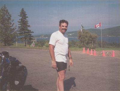
The steepest hill was up to the parking lot of our motel, which was perched high upon a hill. Behind my right shoulder you can see the end of the railroad bridge which we crossed first thing in the morning. Iona has a very nice Motel. Excellent food and view! |
 |
|
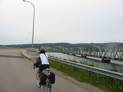
Here we are crossing the aforementioned bridge. This is 'the narrows' of the Bra's de Ors. The railroad was built here in the early 1900's to connect coal and iron ore near Sydney to the rest of Canada. I couldn't believe how close they built the tracks to the water! This is a huge body of water in a country that has some violent storms and lots of wind. It sure seemed to us that the waves must get high sometimes, not to mention that since the Bra's de Ors is open to the sea, there must be some tidal action... |
| But they must have known what they were doing, the bridge looked like it had been there a long time... | 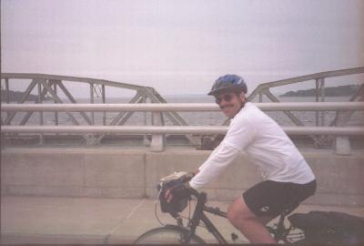
|

|
This
route to Sydney was excellent riding. Almost no traffic and very
pretty country. But when we stopped at a store to get a
snack. We told the cashier where we were going and she
said, "Are you going over the mountain?"
A little later we heard, "Are you going over the mountain?" from another person as well. It seemed that the obvious route went over a mountain. I asked if there was a better idea, and he described a route AROUND the mountain... |
| Time
was an issue as our ferry left at 4PM, and we had to assume it would
leave whether we were there or not. The route was beautiful and
somewhat circuitous, but it did get us around the mountain and through
some country that has not changed much for a long time.
Notice that the deck of the bridge is wood, apparently 2 x4's. |
 |
|
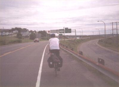
Only
a few miles from the river crossing above, we were suddenly on the
outskirts of North Sydney. They had told us that the road ended at
the ferry dock. The directions were excellent. The road ended
at the ferry dock, which is just where we needed to go.
Again I cannot overstate how friendly the people were in Nova Scotia. Just before this picture was taken we had come to an intersection, and were studying our maps to make sure we were turning at the right place. . People driving by saw our apparent uncertainty and they were stopping and asking us where we were trying to go. |
|
We made it to our destination, the ferry to Newfoundland, with time to spare! |
 |
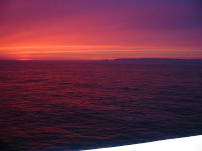 |
Approaching
the coast of Newfoundland we witnessed the most incredible sunset I have
ever seen! The white in the lower corner is not the edge of the
photo, it is the white rail of the ship! This photo is an accurate
reproduction of the colors of the sunset, which I had thought would
probably not photograph anywhere near as spectacularly as they actually appeared.
My little Canon A40, only about $250, did amazing work for me on this whole tour... |