|
Deb & Walt bicycle Nova Scotia! Starting in Portland Maine, and then continuing through Newfoundland and back! Page 5: Newfoundland ! |
|
| Getting
to Newfoundland was a triumph in itself. We had left Maine without
a plan that went more than a week, and after the first day we had dumped
even that. Our intention was to bicycle north with the hope of
maybe getting to Newfoundland, and if we got there, to head north to see the archeological
site at L'Anse aux Meadows where the Viking's settlement know as Vinland
had been discovered.
But we only had 22 days, and some of that time had to be used to get us back. So when we got to Newfoundland we abandoned the bicycles for a few days at a B&B in Port Au Basque. We rented a car, and drove like a bat out of hell up to L'Anse aux Meadows, a mere 400 miles away. |
 |
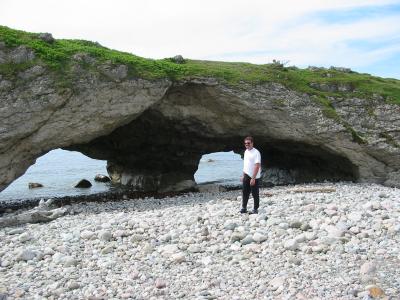 |
Up the west coast of Newfoundland were these arches carved by the surf. |
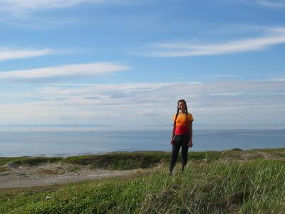
| Further
up we could see across the straights to Labrador, which looks like a
dark cloud in this picture. The flora and fauna started resembling
Alaska in many ways, including both fireweed and moose. We saw six
moose on this day, which was thrilling the other non-locals, but it
seems like 'slice of life' stuff to us.
We see moose all the time in Anchorage...
|
|
 |
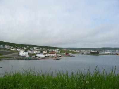
The
coast had a series of white fishing towns, all which looked very similar
to each other. there were few trees close to the coast, and those
we did see were very stunted. There was a strong south wind
blowing all the time we were there. I have been told that it
is always blowing along here, and always from the south.
I really wished we had time to ride this... but we will be back... The locals spoke an incomprehensible dialect that seemed to be related to a Scottish version of English. It was fun to try to communicate with them , but a little embarrassing. I guess we can thank Hollywood for the fact that everyone who speaks English anywhere is familiar with the dialect used in the movies, which is pretty similar to the dialect spoken all across the western USA. |
| So
they always understand us, but we can't understand them!! It makes
me feel like an idiot to keep saying "What?",
"What?"
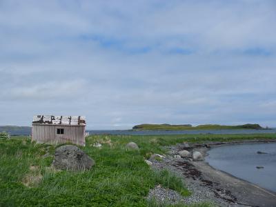
Watching their lips helped a lot, But they seemed used to it, just as if everyone not from Newfoundland was partially deaf... On the right is St. Anthony, the closest town to L'Anse aux Meadows. We spent the night here and in the morning, we would go to see the Vikings.... And then drive all the back down to the Ferry at Port Au Basque. |
 |
 |
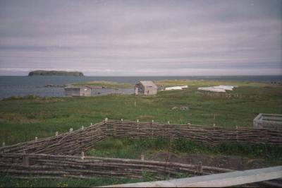
There is a 'Modern' settlement at L'Anse aux Meadows. |
| And
this
is part of it.
A local from this area tipped off an Archeologist to some unusual mounds within sight of these buildings. When he saw them he knew right away that he was seeing the ruins of Viking 'Long Houses." |
 |
|
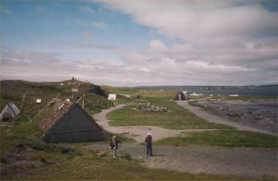
Parks Canada has built a replica Viking Village about a mile from the actual site. Blundering around, we came upon the tourist version first. This is it. |
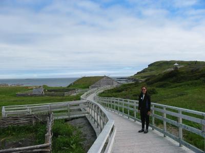
| We
read a 'Newfie' magazine the night before that had talked of the
critical importance of 'boardwalks' to building their tourism
business. The essential message was, "Build boardwalks, and
they shall come. Do not build boardwalks, and they shall not
come."
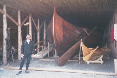
Here Deb poses on a very nice example of a boardwalk... Which does give credence the the point, doesn't it? The picture below is a replica of a Viking ship that had been built in Sweden about 1998, and then sailed over here. The Vikings would have a 30 man crew in a ship such as this. The modern days re-enactors attempted it with nine. |
 |
|
I'm
no sailor, but when I looked into that ship, and saw its size, and how
big and heavy both the ship and the sails were, I wondered about doing
it with nine...
I'm no Viking either, but from what I know of Vikings (or even modern Swedes for that matter..) they wouldn't take 30 men for a job that could be done by nine. In fact, the Swedes I have worked with would be more likely to have nine men doing work that ought to be done by 30! Apparently the re-enactors discovered the hard way what I could figure from mere 'Swede-analysis' We were told they ran into trouble and had to get help... |
|
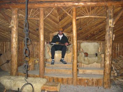
At this point my wisdom had entitled me to be the local King. I took my place on the throne with my sword and crown. I barked out a few commands, but Deb was in no mood to obey. Apparently neither the sword nor the crown intimidated her, so we went for a walk instead.... To see a close-up of this silliness, click on the photo! |
|
|
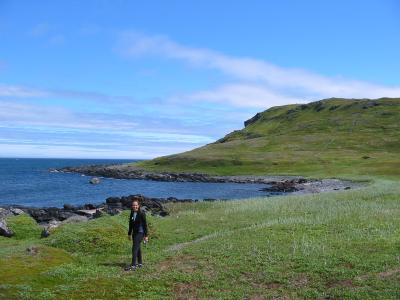
Past the Village a little trail headed off towards this hill, so we decided to take a walk and get a little exercise |
| There was this neat little observation deck on the top. The view was incredible! While this was the extreme northern tip of Newfoundland, there were a bunch of islands all around that made this a partially protected sound. We could see all the way over to Labrador, and there were some extremely large icebergs way off in the distance. | 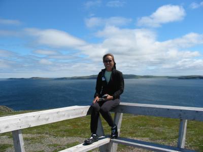
|
|
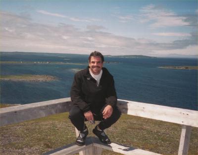
There
was a stiff wind blowing from behind me in this picture. You can
see its effects on the water. Labrador is visible in the extreme
right on the horizon. It made sense that the Vikings would select
this spot for a settlement, as it would be relatively easy to
find..
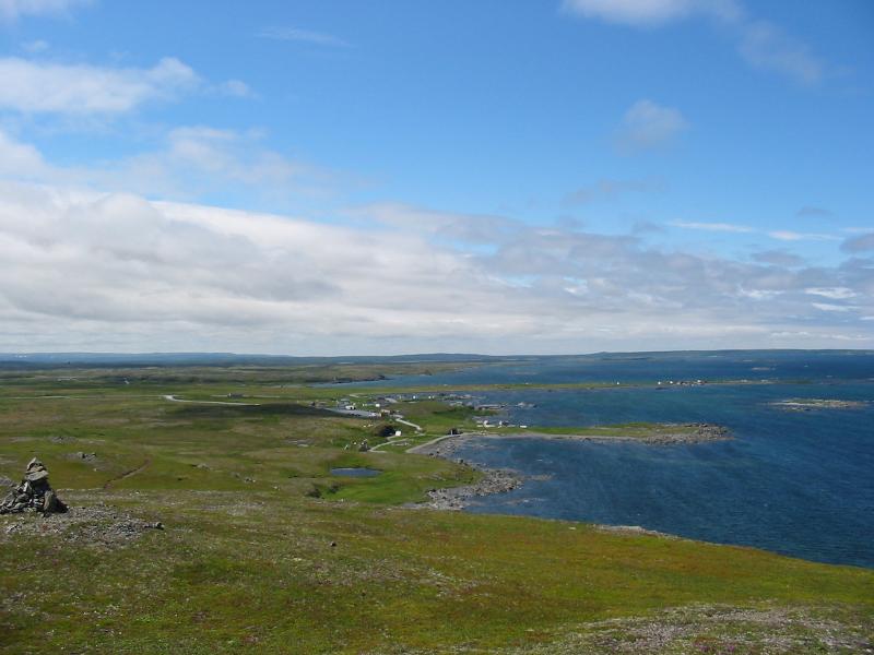
They could tell how far north they were some accuracy, but not east or west. Since the village was at the northern tip of the main Island of Newfoundland (which is huge), all they would have to do is reach Newfoundland anywhere, and follow the coast to the north. If they found themselves going south, they would know they had missed the settlement. Its location could be described effectively with very few words, and wouldn't require a guide who had already been here. |
| This
is shot from the same spot, but looking slightly to the left of the
above picture. The replica village was just this side of the first
peninsula. You can see the white buildings of the modern town
between the first and second peninsulas.
At the head of the inlet just past the second peninsula is where the Vikings settlement was. It would probably be fairly easy to miss on a foggy day, but on the horizon you can see that the ocean goes to very left edge of the photograph. If you kept sailing around this, you would be heading south, and it wouldn't take too long for you to realize that you had gone too far. This findable spot, with its somewhat protected harbor, made this a natural spot to establish a base. |
|
|
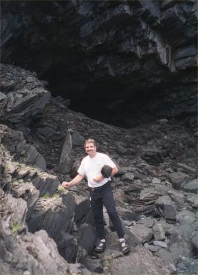
On the far side of the hill we found this cave at the waterline... |
| At last we found the actual archeological site. This is it... | 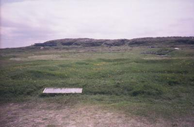
|
|
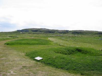
Nothing but a few mounds where their long houses had eventually fallen in on themselves. |
| There
were enough artifacts found here to prove that this was not an Indian
site. There were a number of Viking style buttons and weapon
parts, but probably the most convincing was that there was a little iron
forge (up by the bridge in this photo..) where they smelted some bog
iron for making nails. Iron Nails were precious for
repairing ships and building houses. The Indians didn't
possessed iron.
By now it was about 2PM. We got in the car and started driving back to Port Au Basque. Since it was 400 miles, we didn't expect that we would make it all the way, but we just kept driving and about 11:30PM we were there. We retrieved our bikes, and made the morning ferry back to Nova Scotia
|

|
|
Deb & Walt get back to Boston! On to Page 6! Other Adventures of Walt & Deb...
|
|